
Walk a Pennsauken Street by Address
A Pennsauken street search works best as an address trail. The assessment result identifies a parcel and recorded tax owner. The map then confirms the selected parcel and its block, lot, or PIN. That identifier is the bridge to a deed, where the grantor and grantee show the recorded transfer. A voter request or historical directory can add a dated, narrower kind of address evidence. Each source answers a different question. A recorded owner is not automatically an occupant, and a registration or directory entry does not list every person at the address.
- Enter the full Pennsauken address in TaxDataHub's Property field and choose the Pennsauken town filter.
- Use the same address in myiDV, select the parcel, and record its PIN, block, lot, qualifier, situs, and mailing fields.
- Search the legal description or current owner as grantee in the Camden County Clerk index, then read the matching deed detail and linked records.
- For registered-voter evidence, ask Camden election officials or the OPRA custodian for the appropriate dated street list and public fields.
- For a past household clue, check the exact library or historical-society directory volume rather than assuming that every year covers Pennsauken.
Save the address spelling, portal date, and record role for each result. That makes a Pennsauken street directory search repeatable when a name changes, a parcel is subdivided, or a street crosses into another municipality.
Pennsauken Street Directory Parcel Keys
Camden TaxDataHub is the first address-keyed tool for a Pennsauken street directory. Its import date was displayed as August 28, 2026. A blank search can mean that the filter does not match, not that the parcel is absent. The page accepts * for any number of characters and ? for one character. Start broad with town and property, then use the optional class, sales, square-footage, or year-built controls only when the address result needs narrowing.
- Parcel
- A defined piece of land used in assessment and mapping records.
- Situs address
- The physical location of the Pennsauken parcel, separate from the address used for tax mail.
- Legal description
- The block, lot, qualifier, plat, or other title description that ties a parcel to a recorded document.
- Plat
- A recorded subdivision or map document that can connect a changed street number to its lot.
| TaxDataHub field | Use on a Pennsauken address | Pennsauken narrowing |
|---|---|---|
| Town Filter | Select Pennsauken before comparing similarly named streets. | No required marker was visible. |
| Owner Name and Property | Search a Pennsauken recorded owner or address/property clue. | Wildcards * and ? are supported. |
| B.L.Q. | Use the block-lot-qualifier clue from a Pennsauken map or tax result. | Useful when an address has more than one parcel. |
| Class and Class4 | Compare Pennsauken assessment classification. | Property classification filters. |
| Sales, price, square footage, year built | Refine a broad Pennsauken result. | Optional filters; sort and Download Excel are also shown. |
A tax mailing address may be in Pennsauken, elsewhere in New Jersey, or out of state. Treat it as a correspondence field, not proof that the owner lives there. Note: TaxDataHub displays a maximum-download notice, so a street-wide export may not include every matching row.
Pennsauken Streets in the myiDV Map
The Pennsauken route through the Camden County myiDV viewer has Address Search, Street Search, Block/Lot, PIN, and owner first/last searches. After a Pennsauken parcel is selected, Property Card, Parcel Profile Report, and Mailing Labels are available. The last two tools can create a 200-foot Pennsauken property list, while measurement supports length or area in English or Metric units. Confirm the correct side of the street before making a report.
Camden County's myiDV map tools show the address, street, owner, and parcel search choices used for a Pennsauken street directory search.
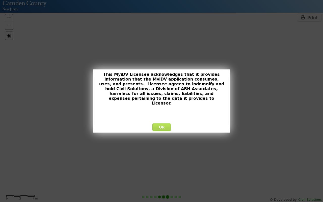
The Pennsauken map is useful for selecting a Pennsauken parcel and preserving its identifiers before an ownership or historical-record check. Its polygon is not a legal survey, and a missing map name can reflect a Daniel's Law redaction rather than an empty ownership record.
For a whole Pennsauken street, use Street Search and select parcels one at a time instead of treating one map result as a complete address list. A road can continue into Camden, Cherry Hill, or another municipality, and it can contain several legal subdivisions. Keep the map date and extent with each Pennsauken result. Parcel Profile and Mailing Labels are 200-foot tools, not a census of everyone along a street.
Pennsauken Deeds Along a Street
The Camden County Clerk's Online Property Records index is the Pennsauken deed route. It is online from January 1, 1978 to the present and is updated nightly. A Pennsauken Basic Search is free and prints watermarked, unofficial documents. Premium costs $25 per month, removes the watermark, and adds classes including liens and powers of attorney. Search Pennsauken land records by party, document type or group, date range, book/page, clerk file number, consideration, or town, lot, block, and map number. The result grid has one row per party, so compare the property description before connecting names.
The Clerk search help documents party, document, date, book/page, legal-description, and linked-document options for the land index.
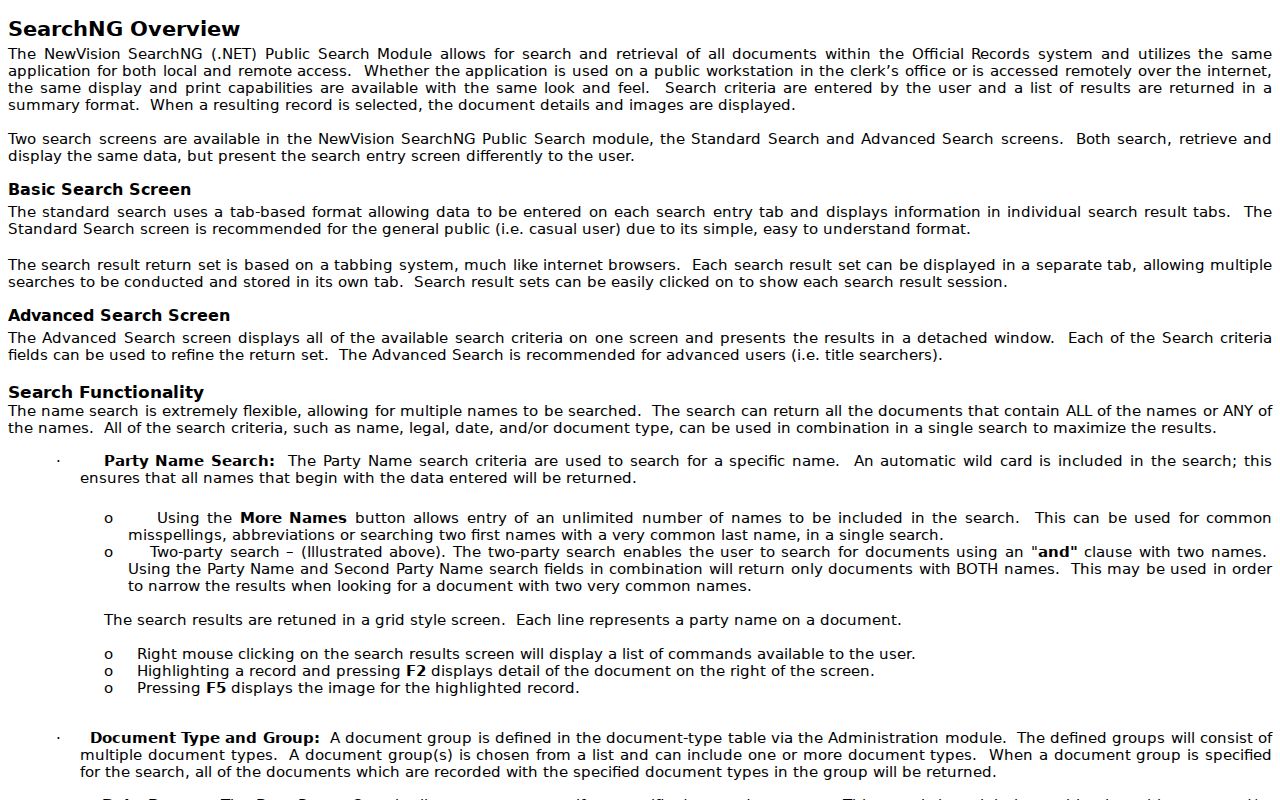
For a Pennsauken title chain, use F2 for document detail and F5 for an image, then search the prior grantor as a grantee with the same legal description. Older deeds may require county books, microfilm, or an office request because the online index begins in 1978. The exact current pre-1978 process needs confirmation from the Clerk.
The Pennsauken Clerk index uses an automatic beginning wildcard for party names, More Names, ALL or ANY logic, and a second-party AND search. Quick date links, image zoom, rotate, thumbnails, and linked-document history can help distinguish two similar Pennsauken names. Check spelling variations and compare the town, lot, block, map number, and instrument. A lien or notice can be a record clue, but it is not proof that title changed.
Pennsauken Street Directory Record Trail
Address records should be read as a chain, not a single list of Pennsauken residents. The assessor and GIS tools begin with a parcel. The Clerk index documents transfers and legal descriptions. A public voter-list request adds registration evidence, while municipal files can document an address-specific permit or inspection. Historical directories are a dated listing layer. Keep the role of each name visible in the research note.
| Address-keyed record | Pennsauken or Camden keeper | What it can show | Access route |
|---|---|---|---|
| Pennsauken assessment and tax roll | Camden Board of Taxation and Pennsauken assessor | Recorded owner, situs and mailing address, class, values, sales, and building clues | TaxDataHub; written correction through the municipal assessor |
| Pennsauken GIS parcel | Camden County myiDV | PIN, block/lot, parcel geometry, selected reports, and adjacent parcels | Public map tools; NJGIN is a cross-check |
| Pennsauken deed and mortgage index | Camden County Clerk | Grantor, grantee, instrument, recording date, legal description, and linked records | Online from 1978; older materials need custodian research |
| Pennsauken voter street list | Camden election custodian | Defined public voter-list fields for the requested district or street | Request route; county fee page lists $0.25 per district |
| Pennsauken permit or code file | Pennsauken municipal departments | Address-specific permit, inspection, occupancy, or complaint record | Precise OPRA request; no public case-search index found |
For historical occupants, Camden County Library has directory reels with gaps and explicitly lists Pennsauken in the 1940-43 grouping. The Camden County Historical Society Research Library has directories, maps, deeds, newspapers, and research services. A focused CCHS exact-date or location request is $5, while general research is $25 per hour. The collections themselves are described in the Pennsauken Directory Book.
Label each row by what it actually proves: address hit in assessor, parcel selected in GIS, owner or grantee in deed, directory occupant, registered voter, or permit applicant. Compare dates and roles before merging two Pennsauken appearances under one name. A trust, estate, church, or business may create several names at one address. Negative notes should also identify the portal, date range, and spelling searched.
Pennsauken Street Lists and Address Files
New Jersey Voter Search is for registration confirmation, not a map-based Pennsauken street browser. Its live field labels were not captured in the research. For a Pennsauken street list, contact Camden election services or submit a focused OPRA request that identifies the district, date, and statutory public-list fields wanted. The county fee page lists an election street list at $0.25 per district. Signatures, Social Security and driver-license values, personal contacts, and protected addresses must not be requested or shared.
Municipal records have a different fallback. Pennsauken has no located public online permit or code-case search. Send a specific request for the street address, block/lot, record type, date range, and desired inspection or disposition result through Pennsauken's online OPRA route, or use written, email, hand-delivery, or mail channels. The ordinary response period is generally seven business days; fees or a deposit may apply. The township archive is useful for agendas, minutes, budgets, audits, and notices, but it is not a resident registry.
Pennsauken's archive search provides keyword, collection, time-period, and date-range controls for municipal material.
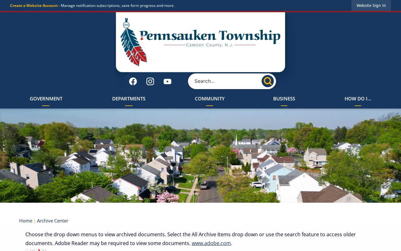
Record the collection title, date, and document title with any archive hit, because a keyword result may be an agenda mention instead of a record about an address.
Pennsauken Street Directory Recording Alerts
Camden Property Alert is a forward-looking addition to a Pennsauken address trail, not a historical ownership database. After account confirmation, it matches a party name or municipality, block, and lot legal description and sends an email when a matching recording occurs. Enter each name variation separately, then use TaxDataHub and the land index to verify a result.
Camden Property Alert shows the legal-description and party-name matching workflow.
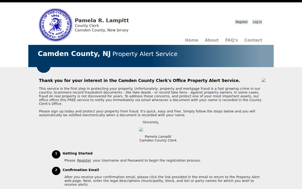
The free alert can flag a new recording, while the deed index supplies the document context needed to decide whether it concerns the Pennsauken parcel.
This is a useful numbers check for Pennsauken research: the online land index begins in 1978 and is updated nightly, but an alert only monitors a future match. For older transfers, follow the legal description back through the index and then ask the Camden County Clerk about earlier books, microfilm, or the proper request route. Preserve the search date because both the map and recorder results can change. That measured trail separates a recorded transfer from a current Pennsauken address.
Limits of a Pennsauken Street Directory
A Pennsauken street directory cannot show every person connected to an address. Utility customers, delivery records, DMV addresses, protected voter addresses, and sealed court, vital, or adoption material are not street-search records. A tax owner may have a different mailing address, and a directory listing is tied to its publication date. Pennsauken began as the former Stockton Township in 1892, so older material can use another township name or a route description. No official street-by-street renumbering list was located.
When an old and new Pennsauken address do not align, compare the block/lot, subdivision or plat, nearby Pennsauken intersection, former owner, and newspaper wording. If a Pennsauken street crosses into Camden, Cherry Hill, or another municipality, check the municipal code and legal description before making a Pennsauken inference. Note: USPS ZIP Lookup can verify postal addressing, but it does not prove a municipal boundary or residency.
Pennsauken permit and code records may provide a date, an applicant, an inspection result, or a transfer-related file, but no online public case index was located. Use the specific OPRA route instead of guessing from a missing web result. The same care applies to voter material: a registration address, tax ownership, and a directory listing are distinct kinds of evidence with different dates and access limits.