
Pennsauken ZIP Code Directory Coverage
Official material supports two ZIP codes for Pennsauken addresses: 08109 and 08110. That finding is deliberately narrow. It does not create a street-by-street boundary map, and it does not mean that every address using either postal label lies inside the township. Pennsauken is a Camden County township, while a ZIP is a postal-delivery geography. Check an individual address before connecting a postal result to a municipal or parcel record.
| ZIP | Documented Pennsauken examples | Post office connection | Research limit |
|---|---|---|---|
| 08109 | Route 70 and Central Highway appear in official Pennsauken address examples. | USPS postal geography for delivery addresses. | No official street-by-street boundary map was located. |
| 08110 | Westfield Avenue, the municipal complex, and North 37th Street appear in documented Pennsauken examples. | Pennsauken Post Office at 4724 Westfield Avenue, retail ZIP 08110-9998. | Postal-city association is not a legal-township finding. |
No official Pennsauken 08111 address was found in the research sweep. No official split history, realignment history, ZIP population count, or ZIP registration statistic was found either. Those gaps matter because an undocumented ZIP should not be added to a Pennsauken records search by assumption.
Pennsauken 08109 Address Checks
08109 is documented through Pennsauken examples on Route 70 and Central Highway. That is useful for verifying a mailing address, but it is not a complete 08109 directory. Postal routes can cross municipal lines, and a ZIP result does not settle the legal location of a parcel. When a result concerns land, use Pennsauken's town filter and then compare the situs address with the recorded block, lot, and legal description.
For older material, a Pennsauken record may instead say Stockton Township, the predecessor municipality before 1892, or use a route or neighborhood description. The address, parcel identifier, and publication date are stronger bridge details than a ZIP alone. Note: Record the date of any postal lookup because delivery assignments can change without changing the legal description.
Pennsauken 08110 Postal Route
08110 is the Pennsauken postal-city and station example in the official material. The Pennsauken Post Office is at 4724 Westfield Avenue, Pennsauken, NJ 08110-9998, with retail hours listed as Monday through Friday from 8:30 a.m. to 5:00 p.m. and Saturday from 8:30 a.m. to 12:30 p.m. The municipal complex and North 37th Street also appear in Pennsauken 08110 examples.
These references show documented addresses, not a full list of people or businesses. A person or company cannot be confirmed from a ZIP association. Use the postal tool to check deliverability, then contact the appropriate public-record custodian when the question concerns a Pennsauken parcel, a deed, or an address-keyed municipal file.
For a Pennsauken mailing question, keep the complete returned postal form with the street number and directional wording. Then compare it against the parcel's situs address. The two strings may be alike, but their custodians and purposes are different.
Pennsauken ZIP Code Lookup Fields
The USPS ZIP Lookup Tool offers three routes: By Address, By City and State, and By ZIP Code. The address route uses Street, City, and State. It is the best documented way to check the mailing form of one Pennsauken address before opening a property record. USPS warns that a ZIP result does not prove that a person or company is at that address.
| USPS lookup route | Fields or input | What it supports |
|---|---|---|
| By Address | Street, City, State | Postal ZIP and city association for the entered address |
| By City and State | City and state | Postal ZIP associations, not municipal-boundary proof |
| By ZIP Code | ZIP | Postal-city association for a ZIP entered |
New Jersey Geographic Information Network parcel information supplies statewide parcel-data context and cautions that parcel geometry is not a survey.
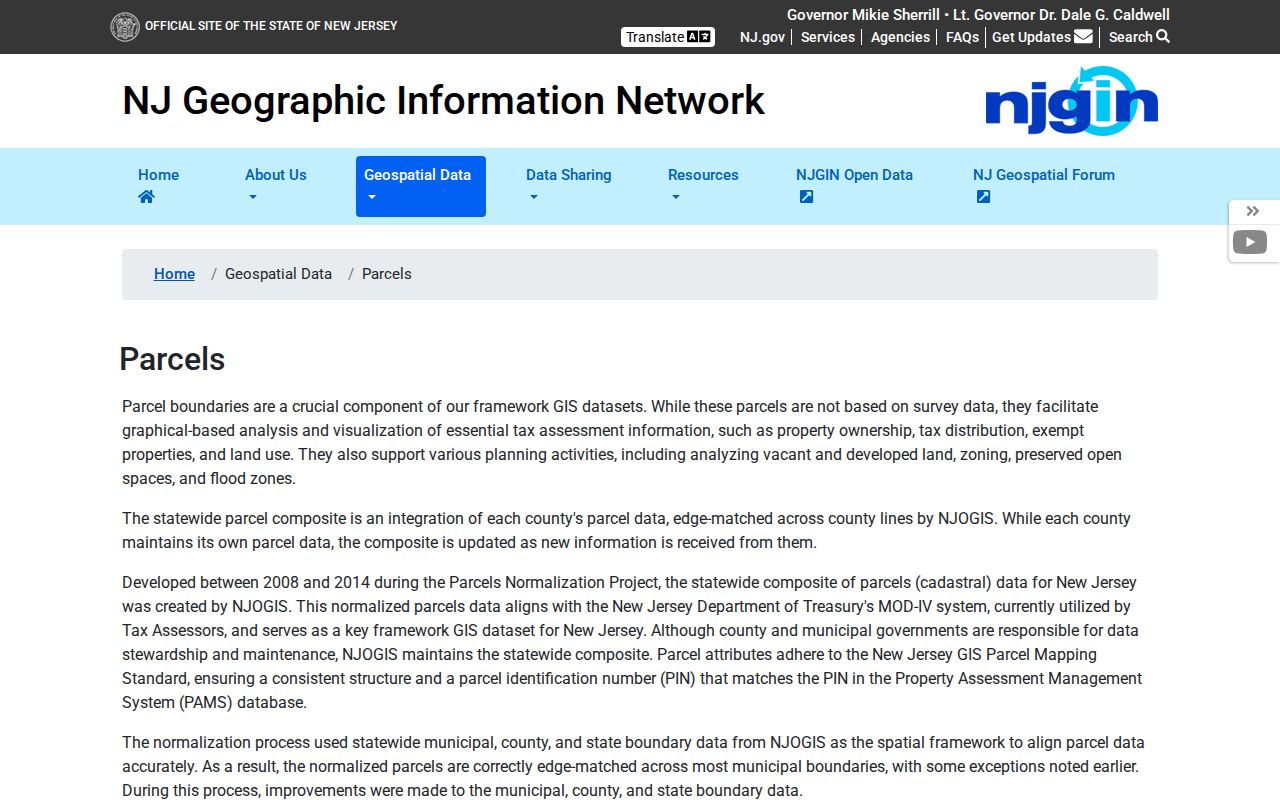
Use the NJGIN material as a cross-check for a Pennsauken parcel after postal verification, not as a substitute for the Camden recorder or assessor record. County edges may not match and hosted owner names can be redacted under Daniel's Law.
USPS answers a mailing question, while the Pennsauken assessor and county Clerk answer parcel and recorded-document questions. Those records can legitimately disagree in form. A postal city may differ from the legal municipality, and a tax mailing address may differ from the Pennsauken situs. Save the original address and the lookup date before deciding which custodian should resolve a discrepancy.
Search Pennsauken Records by ZIP
A ZIP narrows a Pennsauken address, but the documented property tools do not treat it as the main legal parcel key. TaxDataHub uses Town Filter and Property text. myiDV uses Address Search, Street Search, Block/Lot, PIN, and owner fields. The Camden deed index is keyed to party names and legal descriptions. New Jersey Voter Search is not a ZIP-wide resident browser, and a Camden street list requires an election request.
- Run the full Pennsauken mailing address through USPS and save the returned postal form and lookup date.
- Search TaxDataHub with the Pennsauken Town Filter and the Property clue, rather than assuming the ZIP is a property filter.
- Open the address or street in myiDV and copy the parcel's block/lot or PIN.
- Use the legal description or recorded owner in Camden County Clerk Online Property Records when a transfer must be checked.
- Request a dated voter street list from the appropriate Camden election custodian only when the statutory public fields are needed.
Once the ZIP has narrowed the location, the Pennsauken Street Directory has the fuller address-to-parcel and deed workflow. A ZIP result should remain a postal clue in the research notes, not a residency conclusion.
Pennsauken Parcel Keys Beyond ZIP
A Pennsauken parcel is more stable when recorded by its situs address, mailing address, legal description, block/lot, and PIN as separate values. Situs is the physical location. The mailing address is where tax correspondence goes. The legal description is the title identifier. A recorded owner can receive mail outside Pennsauken, while a Pennsauken mailing address can concern property elsewhere.
| Record key | Where it is used | Limit |
|---|---|---|
| Property and Town Filter | Camden TaxDataHub | Address/property clue, not a ZIP-wide people list |
| Address and Street | Camden County myiDV | Finds a map parcel; dynamic labels can change |
| Block/Lot and PIN | myiDV and deed trail | Bypasses postal ambiguity; preserve leading zeros and qualifiers |
| Legal description | Camden County Clerk index | Needed to compare deeds when a street number changes |
myiDV examples use a municipality-block-lot format with an optional qualifier, such as 0409-1-C0298; a PIN can use an underscore form such as 0436_502_2. Preserve the displayed format exactly. Note: NJGIN says its parcel PIN aligns with PAMS, while warning that its geometry is not a legal boundary.
TaxDataHub also exposes Owner Name, B.L.Q., Class, Class4, Sales Date, Sales Price Range, Building Sqft Range, Year Built Range, Show 0 Results, sort, and Download Excel controls. The displayed import date was August 28, 2026, and the tool supports * and ? wildcards. In myiDV, a selected Pennsauken parcel can open a Property Card or a 200-foot Parcel Profile Report. Those field choices are more useful than a ZIP when a result must be tied to one legal parcel.
Pennsauken Area Labels Are Not ZIPs
Amon Heights, Browning Road, Westfield Avenue, Route 130, Crossroads, Waterfront, and Maple Avenue are Pennsauken redevelopment-area labels. Browning, Colonial, Cooper, and Village appear in zoning-map labels. These names help a Pennsauken map search, but they are not ZIP codes, postal boundaries, or public member directories. One address can have a postal ZIP, a redevelopment label, and a block/lot record at the same time.
That layered geography is why the right search key changes with the question. Use a ZIP for postal verification, use the assessment and GIS tools for the legal municipality and parcel, and use the deed index for recorded title. The research did not locate a public street-by-street ZIP map or a public roster for each Pennsauken area label.
Pennsauken Planning/Zoning and Construction handle land use, permits, and occupancy, while the assessor handles block/lot questions. The township routing information directs deed and block/lot questions to the assessor. A ZIP can help state the address in a request, but a block/lot and date range make the request more precise. No separate public E911 address manual or comprehensive readdressing project was located.
Limits of a Pennsauken ZIP Code Directory
ZIP boundaries are delivery routes and can cross municipal borders or use a postal city that differs from the legal township. An official street-by-street Pennsauken ZIP map was not located, so no boundary line should be inferred from the two documented ZIPs. For parcel research, confirm the township through TaxDataHub, myiDV, and the legal description. For postal research, confirm the current mailing form through USPS.
- ZIP
- A postal-delivery code that helps route mail and does not establish a legal municipal boundary.
- ZIP+4
- An added postal segment that narrows delivery within a ZIP; it is not a parcel identifier.
- PO box ZIP
- A ZIP used for post-office boxes, which can differ from a physical delivery address.
- Carrier route
- A postal delivery grouping that is not a census boundary, township line, or list of residents.
USPS can verify an address format, but it does not confirm a person or company at that location. A missing Pennsauken address may reflect a postal variation, a changed route, or a different municipality rather than an absence from every public record.
For a Pennsauken permit, code, or inspection file, no public searchable case database was located. Use an OPRA request that names the exact address, block/lot, record type, date range, and wanted disposition or inspection result. Pennsauken accepts the online route and written equivalents by email, hand delivery, or mail; the general response period is seven business days and fees or a deposit can apply.